Pages

Showing posts with label Architecture. Show all posts

Sunday, August 31, 2014

Moonville Tunnel, Vinton County OH


The concept of this blog boils down to one thing—how weird it is to compare what’s here now with what was. If we go back just a few hundred years the chances are pretty good wherever you’re reading this post was just part of the unbroken wilderness. The landmarks around you simply didn't exist—no grocery store, no McDonalds, no “weird 7.5-way intersection.”

As civilization slowly moved across the continent people gravitated either to where it would be easy or profitable to set up shop. Sheltered bays on the coast, along rivers, rich timber, or mineral deposits. As anyone who’s played any Sid Meier game knows, there are only so many “perfect” spots to build a settlement. As a result, it doesn’t take long to start settling on the next-best spots, close to the really good ones. Think about how you may live in an affordable part of town, but work in a nicer area.

After a couple hundred years of this cycle, we have giant metro areas where settlement after settlement piggybacked on an initial “perfect” spot. These suburbs grew out of nothing because once upon a time the initial city had jobs—and we stay because the jobs are still somewhere in this metro area. If not, we’d leave—think about the mass flight from Pittsburgh since the decline of US Steel, or Detroit as the Big Three consolidate. 


This brings us to the Moonville Tunnel in Vinton County, Ohio.


First, the area was all forest. Then the American colonists started pushing West in search of a wilder land with more opportunity. Small homesteads were carved out of the forest, fields were planted, trails and roads grew. This was followed by the mills, the government buildings, the places of commerce needed by any decent sized group of people. But it wasn't the most convenient place to settle—far from rivers, lakes, mountains with minerals. The population stayed small, remote, and underdeveloped compared to cities like Cleveland, Cincinnati, or Pittsburgh.

Then iron ore was discovered in the rocks in the area, and the boom was on. Iron furnaces such as the one at Hope, OH were constructed. Men and material flowed in, creating boom towns all over the region. The area’s remoteness was now offset by the profit that could be made, and for nearly 100 years the development reflected it. Since there was no easy, natural route like a river to get the iron out after smelting (the industries fed by iron weren't located anywhere nearby, remember), railways were financed to bridge the many creek beds and tunnel through the many hills.

Then the iron boom tapered off, eventually into nothingness. The trains hadn't been in the area before the boom—the needs of the population wouldn't cover the expenses of fuel and track maintenance. Once the iron furnaces had all closed and Southeast Ohio returned to pockets of small rural communities many of the railways simply stopped service to this remote area. This is how we end up with places like the Moonville Tunnel, named after a town that no longer exists and built to shelter tracks long ago removed for use elsewhere.


Moonville Tunnel is a perfect spot to practice the surreal act of trying to reconcile how things are now with how they must have been.


Several of these poles were on either side of the tunnel, near the old right-of-way. Considering how good of shape they're in (considering), my hunch is they were from the tail end of the rail line's existence, rather than the original telegraph cables.


Playing with the shutter speed to get the best view--this is a long exposure that gives you a bit of a feel for the over all scale.


Erosion will remove all things, over time--but considering this was put up 112 years ago, I think they did a find job setting the foundation of this wall.


Short exposure reveals just how dark the tunnel gets--I mean, it IS a tunnel. It begs the question--was there any lighting? What kind? It's easy to see how the stories of conductors falling off trains and switchmen getting run over without a sign can be started from the depths of such darkness.

Wednesday, March 26, 2014

Church of the Steps, Mount Adams in Cincinnati

So I'm visiting my friend Joe, and I say, "Hey Joe, let's go take some pictures. Know any good places to take pictures?" and as if this was some bizarre Godfather crossover Joe says, "I'll think about it." Luckily for Joe I'm not Clemenza--and luckily for me, Joe knows where to take some good pictures.


Our first stop is up in Mount Adams, specifically at the top of the Mount Adams steps, next to Holy Cross-Immaculata. A Good Friday tradition known as Praying the Steps has given this church another name, "Church of the Steps." Each year on Good Friday, pilgrims gather at the base of the Mount Adams stairway and pray at each step on the way to the crucifix pictured above. Some more background on that can be found here.


The views of the river are the best part of the Cincinnati landscape, in my opinion. This afternoon a snow storm was coming in added an interesting element. Chilly, but interesting all the same.


To the city's credit, Cincinnati does a good job preserving history, even as they revitalize parts of various neighborhoods. Signage on the landscape serves, to me at any rate, as physical footnotes to dig deeper--a clue that this spot was not always as it appears now. A place to start asking questions about what was.


The Mount Adams Steps originated as a path that Immaculata parishioners wore up the hillside to visit the church's construction site. The Archbishop Purcell put in a stair of wooden steps (probably a good thing from an erosion standpoint) and the city took over maintaining the thoroughfare sometime later. The most recent stairway was built in 2009.


When they built the landing with the markers, they included a photo of the skyline. Because there's very little reason not to, I took my own version.


I may not have been able to get the exact same angle and maintain the skyscraper focus but I don't think that really hurts the shot at all. I love how the sign pre-dates the Great American building.

Sunday, June 16, 2013

Eden Park Standpipe

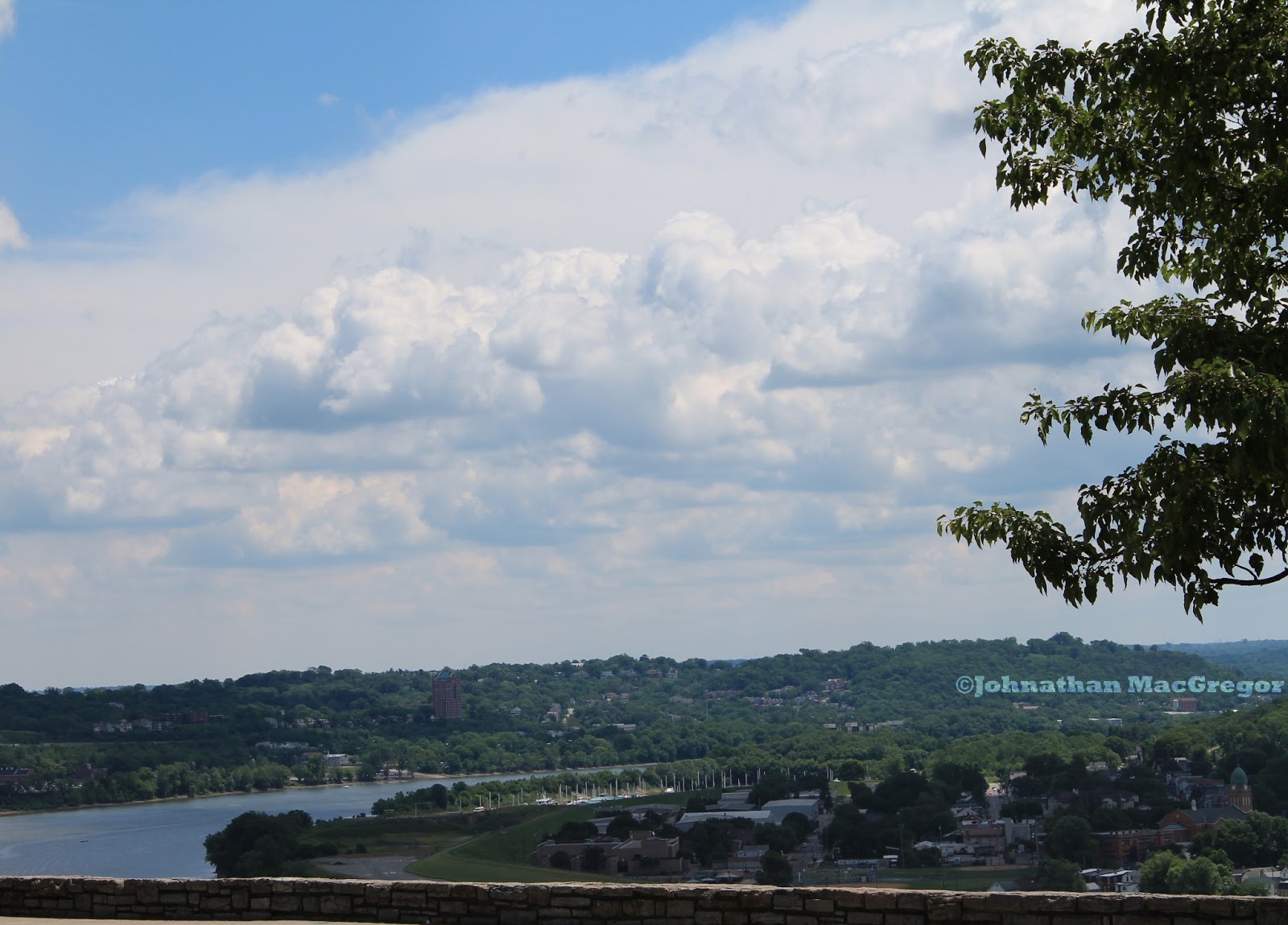
One of the places on my list (probably the next one on my list) when that first camera got itself stolen was Eden Park. I mean, there's the obvious draw, the overlook on the Ohio...


...but for me that's just the start.  I didn't stop at Eden Park with the intention of shooting the Standpipe, but once I saw it, I had to cross the street and get a few more.


I had been aware there was a water tower at Eden Park, in the sense I've heard other people talking about it. I'd never really noticed it from Twin Lakes before, and had definitely never gone over to check it out. Looking over after shooting some ducks and geese, I saw this very unique structure sticking out of the trees.


I was fascinated. I spent a lot of time into castles as a kid (something most little boys can claim in common), so I was drawn to the arrow-slit windows, the battlements on the roof, the spire jutting above the main structure. I had absolute no idea at this point what this was, and spent a few minutes guessing before moving closer.  Part of some eccentric mansion? An observation tower for the army, or an astronomy organization? I did briefly consider "water tower," but had dismissed it because of all the windows--that's a lot of structure for very little holding capacity, it seemed.


I wasn't far off in that deduction, I found out later. The Eden Park water tower wasn't designed to store water--it was designed to regulate water pressure. The water system of the time was steam powered, and massive pressure spikes were a common occurrence. This tower provided an outlet for those spikes that didn't involve destroying water mains, by housing a water shaft in the center of the tower.

Evidently, this was an extremely common situation during the late 1800's and early 1900's. A website specifically about similar towers in St. Louis, Missouri provides more detail on the system, and some cool interior shots.

For more information about the steam engines that powered the Cincinnati water system at the turn of the 20th Century, Cincinnati Triple Steam.org has a wealth of information.


The Eden Park Standpipe was completed in 1894 and is 172 feet tall (supported by this formidable base). The tower was designed by Samuel Hannaford's architecture firm (the same man who designed Cincy's Music Hall and City Hall), and operated until 1916. Some pictures from the era show a copper spire (click here and scroll down to Page 30 to see it), but that's clearly gone now--recycled in one of the many scrap drives during World War Two. Just about all of this comes from a pretty well-cited Wikipedia page on the Standpipe, directly or indirectly.


There are several gargoyles on the Standpipe, including this roaring example here. I have a couple other shots on my Flickr account, such as this one and the two guys below.


I didn't see anything in my research that talked about letting the general public inside for tours, though I'd love to jump on that if the opportunity arose. There was a warning near the door about the dangers of screwing around with an active broadcast transmitter, and I'm sure that has a lot to do with it. Last time I checked, radio burns weren't any fun at all.